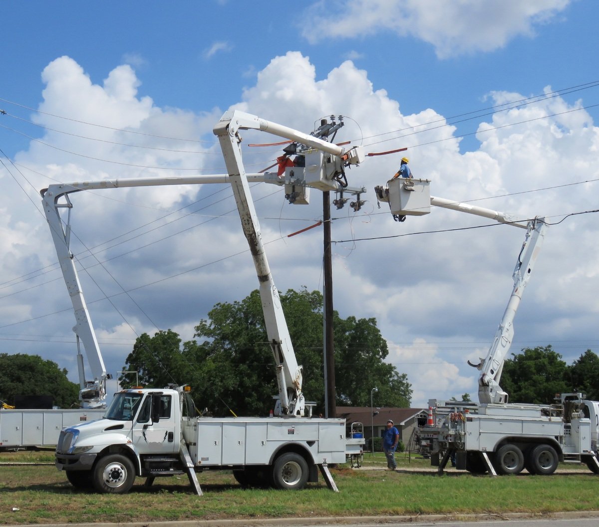
While "Customer Experience" gets all the headlines and is of course very important, the IQGeo team is also very focused on the "Field Experience". What is the user experience for telecoms and utility field teams who use software outside the office to maintain and repair their networks?
All too often the needs of field users get lost in the mix which is a real mistake because their contribution to productivity and data quality is absolutely strategic. We’ve found many different areas that are important to field users and in this blog I’ve highlighted a few IQGeo software features that our field users love, leading to quick and pervasive adoption of our mobile solutions.
One common interface on any device
Many of our users have multiple devices that they use in the field, laptops in trucks, tablets and phones when outside of their vehicles. A common user experience across all those devices is key to field adoption even though the screen real estate and data entry methods are significantly different. An additional benefit is that this helps in emergency response situations when you may have users assisting who only use the field platform occasionally, they can quickly adapt to assessment and construction processes.
Device to device session sharing
One new feature that field teams have found incredibly useful is the ability to transfer a session from one device to another using a simple QR Code. I arrive at a job site in my vehicle and complete some initial sketches on my laptop. I can just scan a QR Code with my phone and the work in progress transfers to the phone so I can easily take it to the field and complete my inspection. On my phone I complete forms, take some photographs and mark them up. Once complete I return to my vehicle and simply close out my phone session and all my work is shared with my laptop.
Google integration
I have heard multiple GIS consultants state that Google integration is just flashy and has no real practical use. This might be because Esri does not have a clean Google integration or it might just be because they have never talked to a field team. In reality the value of a Google integration is compelling and measurable. By overlaying asset locations on top of both Google Maps and Google Street View, field teams get instant context and are given vital information at night or in emergency situations. Combine this with being able to click on an asset in Street View and find out information, such as the upstream device or phase, and you add a whole new dimension to your geospatial data. Then team this up with driving directions and other innovations like local context and you can see why field teams find it invaluable.
Network tracing and schematics
It makes complete sense that when your business is managing a network you must be able to navigate the network through tracing in the field. Much is made of geometric and logical network connectivity. Being able to support both is not an exciting new feature, it’s table stakes, and has been for 20 years. IQGeo takes tracing to the next level by automatically generating a smart schematic that can aggregate network load and dynamically link back to the geospatial view. The final piece of the puzzle is being able to carry out these operations both online and offline, something many vendors claim to do but most do poorly.
Quick field capture
The only way you prevent "data rot" in your GIS is to empower the field to quickly and effectively capture data from any mobile device. We’ve found that field teams want to be able to capture data as long as it is easy to do and is quickly updated in the back-end systems. Taking a photo to highlight an issue or identify a change on a map and associating it with an asset is simple to do with IQGeo. This as-built information then flows digitally to whatever System of Record you currently have in production.
The field experience
Field teams will stubbornly refuse to adopt poorly conceived or implemented mobile tools. But your network reliability depends on their efficiency and the only way your network data can be kept current is through a "Field Sourced" process of data collection. Our most successful customer deployments are with those network operators that have put serious thought into the "Field Experience" they want for their mobile teams. They don’t tolerate poor adaptations of office tools or solutions built for map makers that aren’t in the field running a network.
Don't forget about the field teams
The often-neglected field teams are too important to forget about. They hold the key to cost-effective operational productivity, network uptime, and ultimately to creating happy customers. We owe it to them to provide the tools they need to do their jobs effectively and efficiently.
Learn more about IQGeo’s mobile-first geospatial Platform.